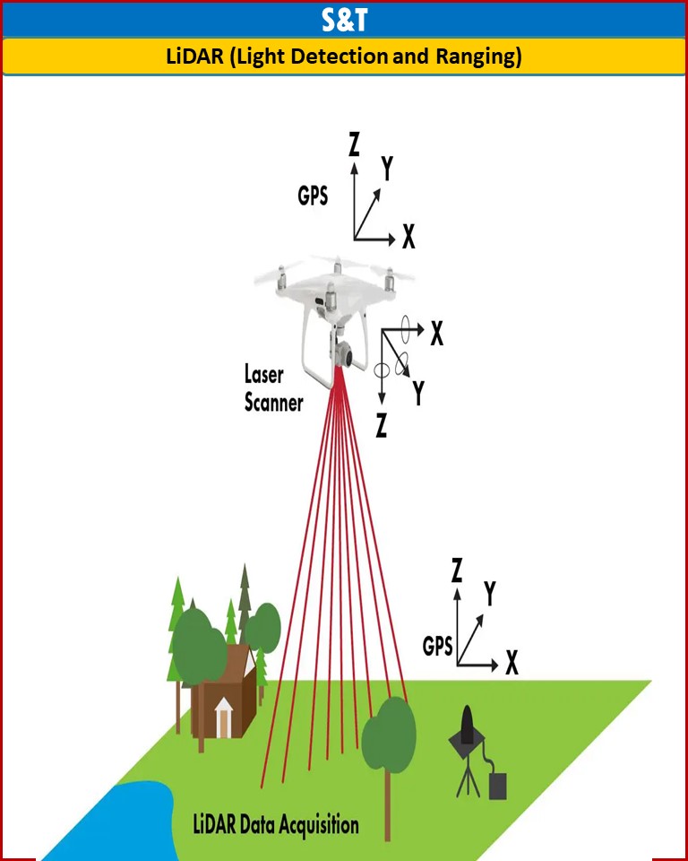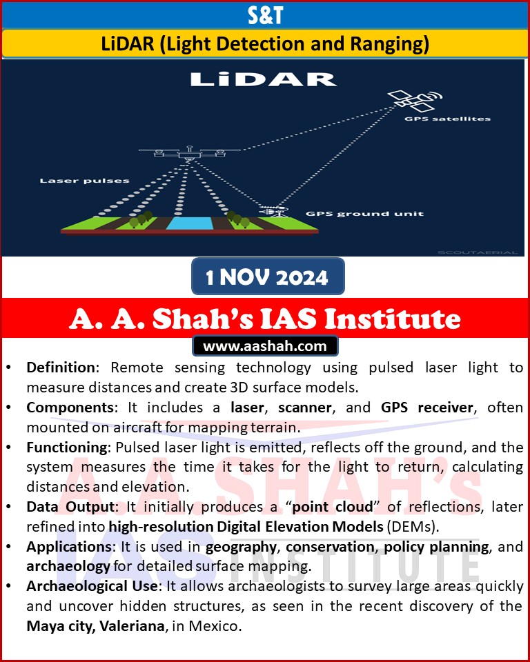
•Definition: Remote sensing technology using pulsed laser light to measure distances and create 3D surface models.
•Components: It includes a laser, scanner, and GPS receiver, often mounted on aircraft for mapping terrain.
•Functioning: Pulsed laser light is emitted, reflects off the ground, and the system measures the time it takes for the light to return, calculating distances and elevation.
•Data Output: It initially produces a “point cloud” of reflections, later refined into high-resolution Digital Elevation Models (DEMs).
•Applications: It is used in geography, conservation, policy planning, and archaeology for detailed surface mapping.
•Archaeological Use: It allows archaeologists to survey large areas quickly and uncover hidden structures, as seen in the recent discovery of the Maya city, Valeriana, in Mexico.